Atari ST - Antic Publishing - 1986
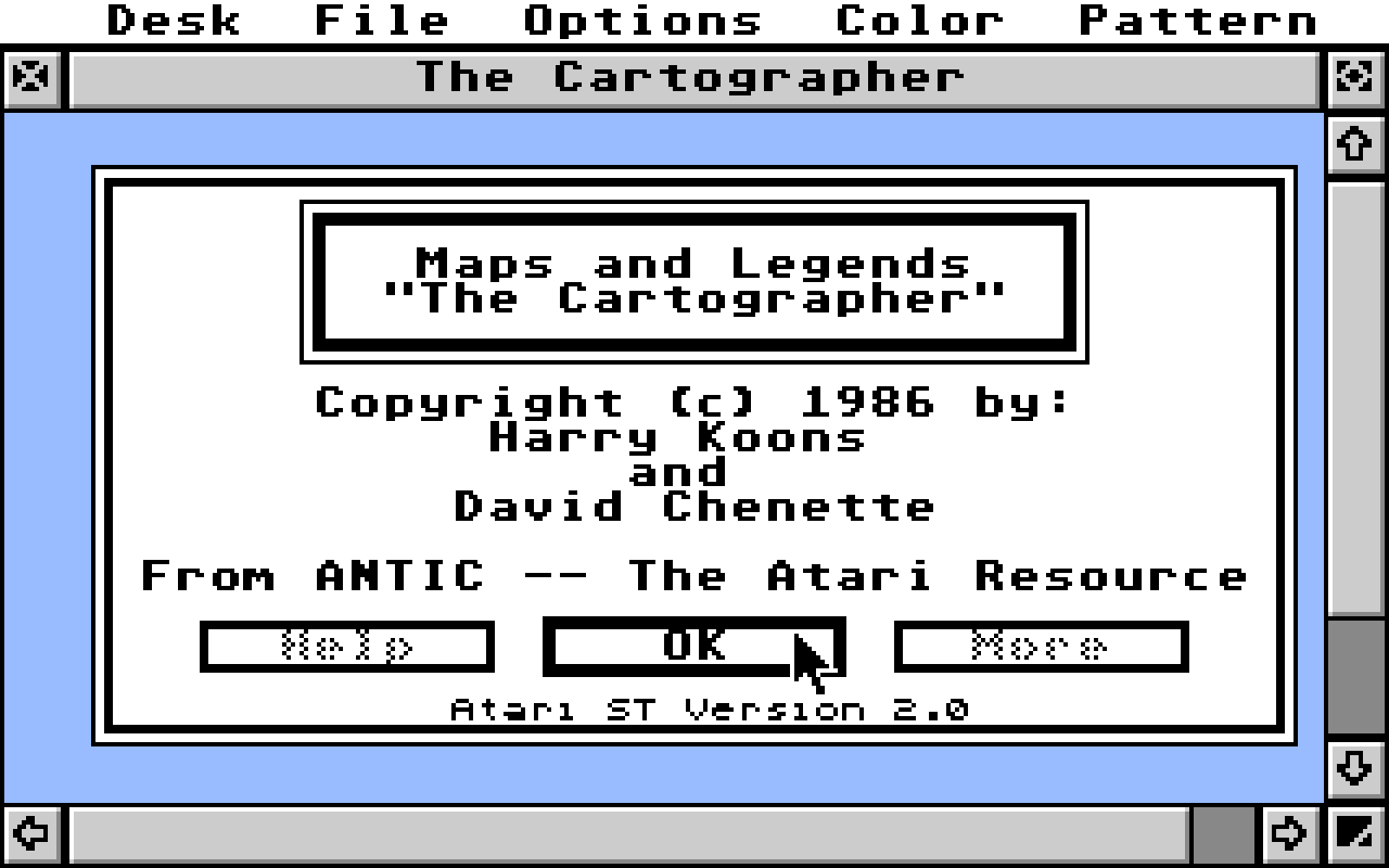
Maps and Legends - The Cartographer
- Genre
- Graphics - Miscellaneous
- Year
- 1986
- Language
- Compiled C
- Publisher
- Antic Publishing
- Controls
- Mouse
- Distributor
- —
- Resolution
- Low / Medium / High
- Developer
- [n/a]
- ST Type
- ST, STe, TT, Falcon030 / 0.5MB
- Licensed from
- —
- Programmer(s)
- Chenette, David / Koons, Harry C.
- Country

- MIDI
- —
- Software
- English
- Version
- 2.0
- Box/Instructions
- English
- Number of Disks
- 1 / Double Sided
- License
- Commercial
- Dump
- Download
- Serial
- —
- Dump format
- MSA
- Protection
- —
OTHER VERSIONS WITH THE SAME TITLE (2)
INSTRUCTIONS
                          READ.ME FILE FOR
                          MAPS AND LEGENDS
                          ----------------

                  From ANTIC -- The Atari Resource


Info about two new features not described in the on-line Help:

1.  Positioning of maps can now be controlled more precisely for DEGAS.
Now, by using the slider bars, the visible area can be set nearer
the center of the workspace, if desired.

2.  The outer boundary of the map, with or without the graticule, can
now be overlayed in any color or pen width.  Select the file
BOUNDARY.INT from the "Overlay" option of the File menu.  This
feature solves the problem of how to get an overlay in a
color different from that of the map boundary or grid.

    BOUNDARY.INT is supplied on the disk in the DAT folder (it's a
dummy file and is never read).  It flags the system so it only
re-draws the map boundary.  Selecting this file as an overlay
is the only way that the user may draw the map boundary alone,
without drawing points from the built-in data files.


There are three folders and three programs in the root directory of
the program disk:

Folder:  DAT - Coordinate data
Folder:  MAPSHELP - Help files for online help utility, accessed from
         within the program (Help key).
Folder:  FONTACC - Fontloader desk accessory, instructions, and fonts.

MAPS.PRG . . . Maps and Legends.
CREATE.TTP . . Overlay file creator.  Tos-Takes-Parameters type
               file.  See instructions for details.
DEGASNEO.TTP . Degas format to Neo format converter, for low-res
               color files.  Maps and Legends produces files
               in Degas format, but with this program you can use
               Neo to enhance your maps.

Plus:

USAHIGH.PI3  . Monochrome picture of US (sample map).
USALOW.PI1 . . Low-res pic of US (sample map).  We left off a
               medium res map so we could fit the font loader
               and Degas-Neo converter on the disk.
ORBIT.TXT  . . Text file that has coordinates for the orbit
               of a US satellite that sits over Central America.
               Use CREATE.TTP to turn this file into a .INT file
               to use as an overlay.
WYOMING.TXT  . Text file with coordinates for the boundary of
               the state of Wyoming.  Use CREATE.TTP to turn this
               file into a .INT file to use as an overlay.


NOTE:  We're looking for overlay files that would be useful for
general purposes, such as:

            - Boundaries of all countries on each continent
            - Boundaries of each, individual state
            - Boundaries of county lines within each state
            - Orbits of major satellites
            - Ocean currents
            - Weather patterns

Submit your overlays for evaluation to:

            Catalog Product Manager
            Antic Publishing, Inc.
            524 Second St.
            San Francisco, CA  94107

We may want to publish your overlays and put them in the catalog!